1857 Map of Lexington
This file appears in: Cheapside Slave Auction Block
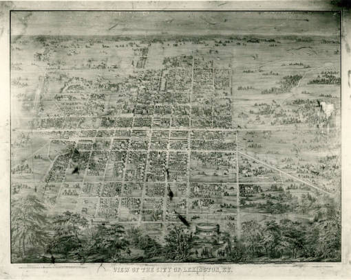
This birds-eye view map of Lexington shows the city in 1857. Courtesy of the Kentucky Historical Society.
This file appears in: Cheapside Slave Auction Block
Cheapside Slave Auction Block
Historical Marker #2122 remembers Lexington’s Cheapside slave auction block and the thousands of enslaved Kentuckians sold here.
For decades before the Civil War, Lexington was the center of the…