The Trail of Tears
Text
Historical Marker #1042 in Hopkinsville remembers the location where Cherokee Indians camped in 1838 on their long route to lands established for their relocation in Indian Territory.
The Indian Removal Act is remembered today as one of America's darkest legislative moments. On May 28, 1830, President Andrew Jackson signed the law which authorized lands west of the Mississippi River to be exchanged for land owned by Indians in settled states. Jackson, like most whites at the time, believed that the Indians' removal to new western lands would be best for both Native Americans and whites. Jackson believed that Indian removal would end agitation between the states and the Federal Government over Indian issues, and that it would allow the Indians "to pursue happiness in their own way, and under their own rude institutions."
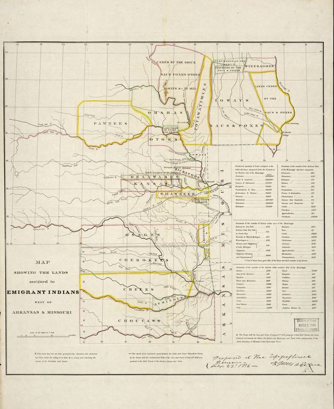
Some Native Americans went willingly, while others, like the Seminoles in Florida, presented a determined resistance. When the Cherokees of the southern Appalachian Mountains were offered the Treaty of New Echota, a small group who stood to benefit financially accepted and left. Cherokees under Chief John Ross protested. After the Supreme Court ruled in favor of the treaty, the Cherokees were given two years to move to Indian Territory (present-day Oklahoma). By 1838, the vast majority of Cherokees were still living in their Tennessee, Georgia, and North Carolina homes. That same year United States troops were sent to remove those Cherokees to Indian Territory.
While some Cherokees traveled a water route by way of the Tennessee River to the Ohio River to the Mississippi River and then west on the Arkansas River, the majority went on a grueling overland journey that lasted from November 1838 to March 1839. It is estimated that approximately four thousand Cherokees died of cold, hunger, and disease in making the trip.
The Cherokees' overland route ran from southeastern Tennessee into southwestern Kentucky. They then crossed the Ohio River into southern Illinois and across the Mississippi River, through southern Missouri and finally to Indian Territory.