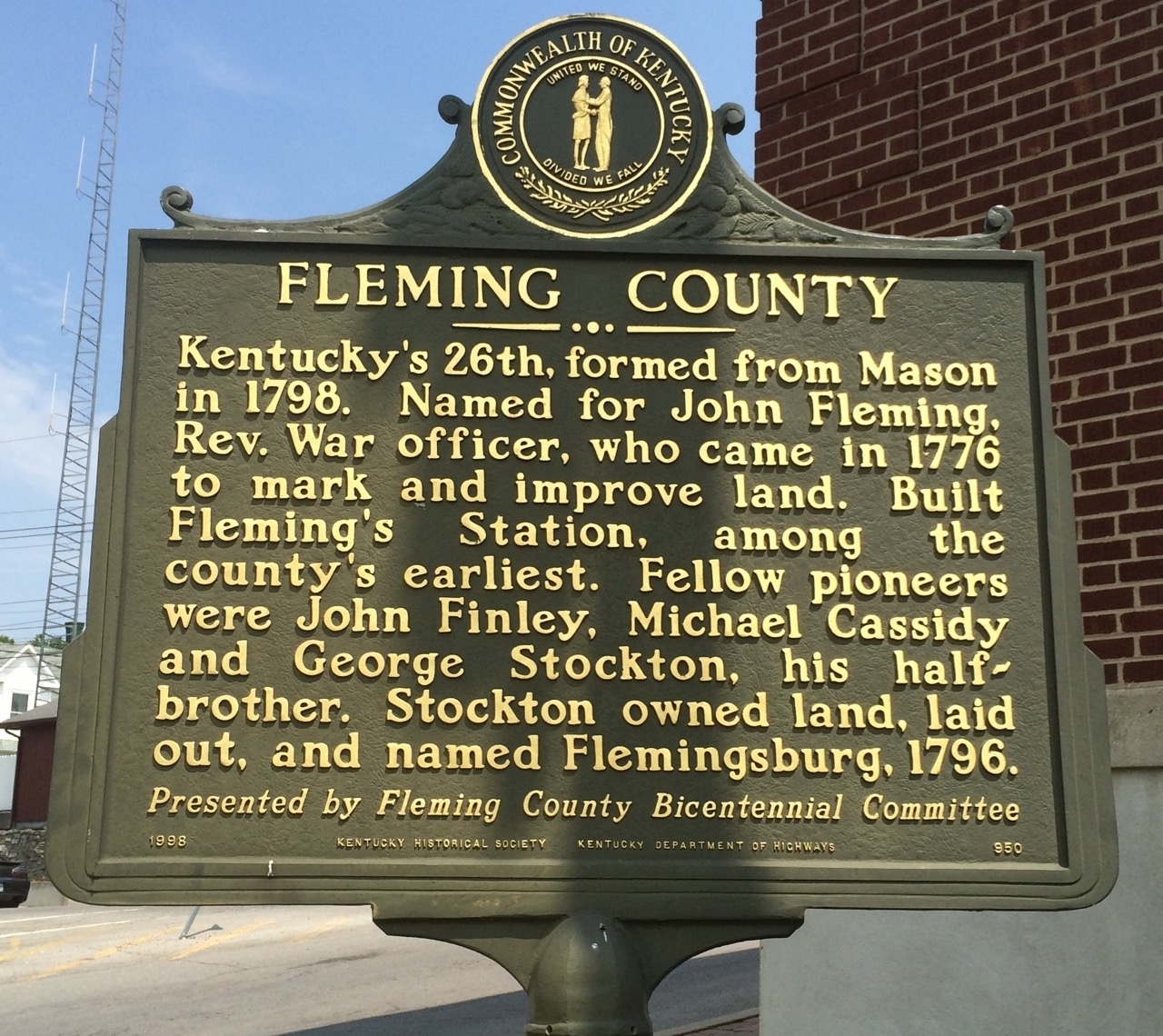
Marker #950 Fleming County
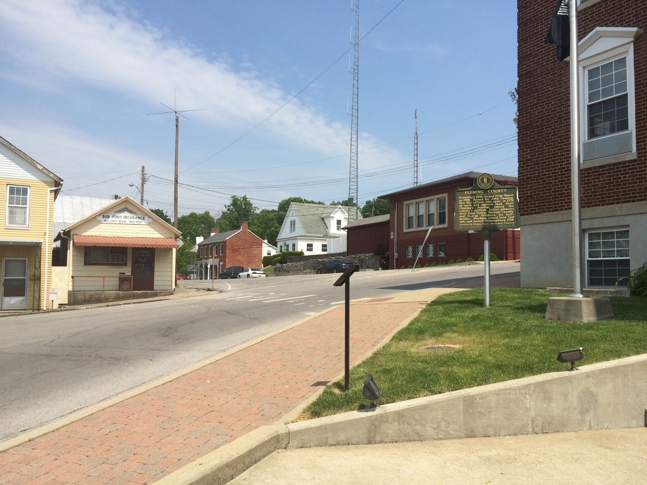
Marker #950 sits at the corner of Fleming County Courthouse on the west corner of the building around Court Square between West Main Street and South Main Cross Street. Court Square is a typical courthouse round-a-bout in the middle of the Flemingsburg. Parking around the court is not available, however it may be best to check with the local businesses for temporary parking.
Text
Historical Marker #950, “Fleming County,” is dedicated to Colonel John Fleming, a Revolutionary War veteran, surveyor, and early Kentuckian. Fleming County and Flemingsburg are named for him.
Fleming was born in Virginia in 1735. His father died shortly after, and his mother remarried in 1740. Within five years, Fleming had three half-siblings, and he moved in with his grandparents who raised him. Fleming grew up working on a farm and operating a nearby ferry.
Fleming learned about the 1773 William Thompson expedition into Kentucky from William McClary, who had secured a 3,000-acre survey on the waters of Salt Lick Creek. The Thompson survey was tasked with locating lands for militia officers who served in the French and Indian Wars. In 1776, Fleming joined McClary on a trip down the Ohio River to further explore and make improvements on McClary’s land. Other settlers also hired them to make improvements to their land.
Fleming and McClary stayed in Kentucky for about two months, building a small log cabin near Fleming Creek and four more on the North Fork of the Licking River. They built approximately thirty log cabins as improvements for claims in the future, including some at Big Spring for George Stockton, the future founder of Flemingsburg.
Fleming stayed in Stockton’s cabin, while the rest of his party left, presumably to retrieve their families. Fleming traveled with Simon Kenton and William Kennedy to neighboring stations, including Ruddle’s Station and Fort Harrod. Upon reaching Fort Harrod, he joined the local militia to protect the settlement from Native American attacks and was appointed captain.
Around 1780, Fleming joined Colonel George Rogers Clark’s expeditions into the Illinois Territory during part of the western wars of the Revolution. He then went to Pennsylvania for a short time after his discharge. In 1780, he commanded one of the boats in Jacob Van Meter’s party traveling down the Ohio River to Louisville.
Accompanying Fleming was Samuel Strode, who was returning to secure land granted by the Virginia Land Act of May 1779. Fleming then went to Strode’s Station, built by John and James Strode in 1779, and helped defend that location in 1781.
In 1782, Fleming married Lucy Pettit Donaldson, who had six daughters and two sons from her first husband, Patrick Donaldson, who had been killed in the siege at Strode’s Station.
Shortly after his marriage, Fleming and a party, including his stepson, John Donaldson, went back to Fleming County to locate lands for future settlements. When the party arrived in August 1782, they encountered a group of Native Americans. In the ensuing fight, Fleming was shot in the hip. He returned to Strode’s Station, where he recovered.
Governor Thomas Jefferson, Virginia’s second governor and future president, sent Thomas Marshall to open the first county surveyor’s station in Fayette County. Marshall appointed Fleming as one of his deputy surveyors. Fleming completed surveys on Lower Howard Creek, Grassy Creek, present-day Somerset, and around the waters of the Hinkston. In 1784, Fleming and a party of others went back to Fleming County and made the first official survey there. It was during this time that Fleming Creek was given its name. Fleming completed his work as a Fayette County surveyor in 1786, when the area in which he was living became Bourbon County. In 1787, he became the deputy surveyor of Bourbon County.
In the spring of 1788, it is presumed that Fleming spent his time building Fleming’s Station, near Martha Hills in Fleming County. In 1791, he died in Fayette County. His cause of death is debated; some say it was during a surveying trip, but others claimed that he instead died at his stepson’s home. He was buried in a family cemetery in Fayette County.
George Stockton founded a town near Fleming’s preemption in 1796. In 1798, Michael Cassiday, a representative from Mason County, made sure the new town was named Flemingsburg, after their friend John Fleming.
Files
File #4279: [Untitled]
Source: Used with permission from https://www.hmdb.org/m.asp?m=83507.